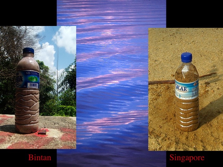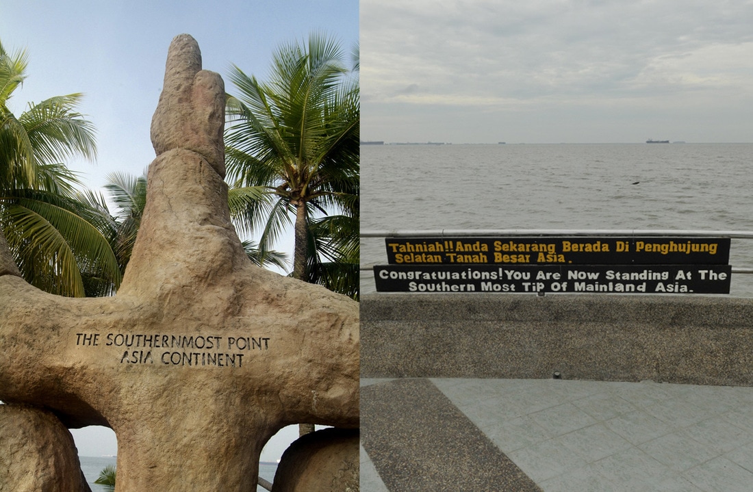
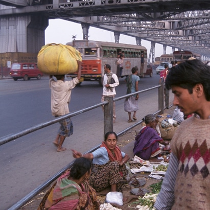
Many years back, while looking at a map of Asia in a café of Kunming, it dawned on me that I could use the two rivers Ganga and Mekong as symbolic running threads linking all my trips around Asia and give the focus of an overall view presentation of that body of works.
Final culmination of a series of work spanning over a series of 5 years.
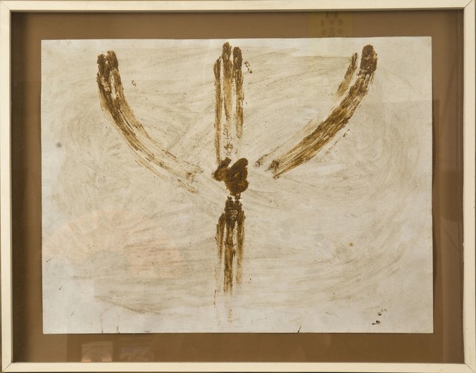
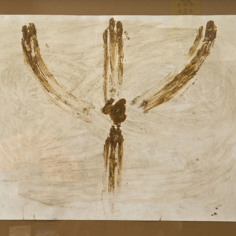
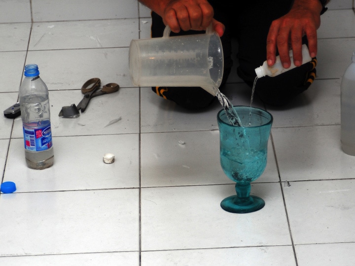
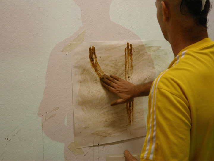
Ganga - Mekong Performances
Related Articles
|
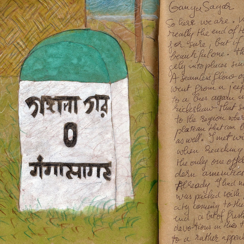
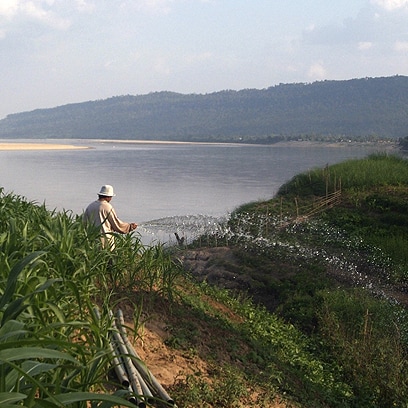

GangaMekongGanga - Mekong
|